Mount Saint Helens - Lidar Data
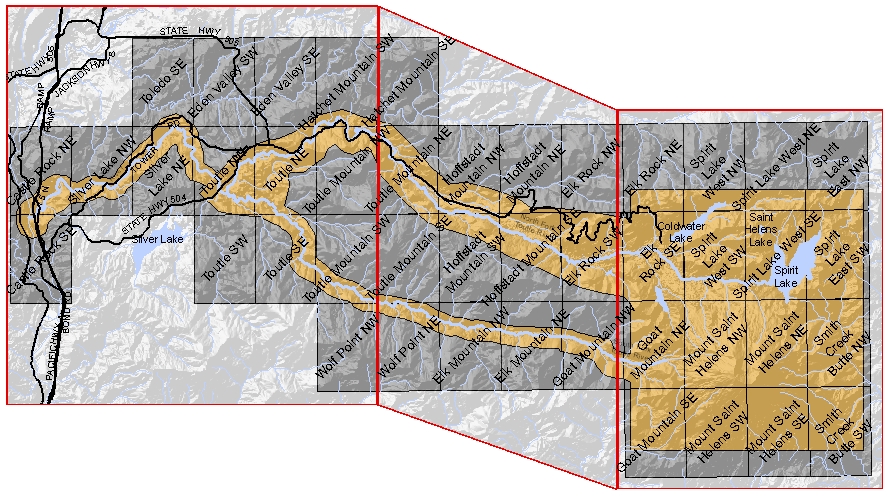
Click on one of the 3 areas outlined below to download bare earth and reflective surface LiDAR data for the areas shown in orange. For more information about LiDAR data in general, and a source for more LiDAR data, a good resource is the Puget Sound LiDAR Consortium.
Click here for a 3 meter DEM of the orange area seen below (225MB compressed, 1.7GB uncompressed).
Metadata Addendum : In addition to the metadata which is bundled with each zipped tile, an April 23, 2008 phone call to Fugro-EarthData Inc. clarified that the lidar data collection was conducted Oct 31-Nov 2, 2002. Although there were reflights in 2003 it is not clear which flight lines were effected.